
Portfolio
All Projects
➡ FritWork
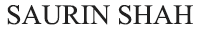
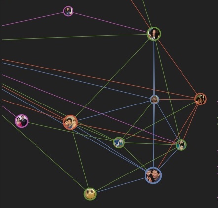
"FritWork" is a graphical representation of connections formed within a network of any given Facebook user. Various 2D, 3D representations help users navigate through their network and realize how people are connected within their network. A type of analysis possible only through a lot of browsing is presented in a user-friendly manner. This required understanding the concepts of graph API, FQL, Batch querying, User Authentication, PHP SDK, etc. specific to Facebook. The data visualization achieved is through front end js libraries listed below:
● FritWork-Sigma.js (2D)
Library: Sigma.js, Renderer: Canvas
Features Implemented
● FritWork-D3.js (2D)
Library: D3.js, Renderer: SVG
Features Implemented
● FritWork-THREE.js (3D)
Library: THREE.js, Renderer: WebGL
Features Implemented
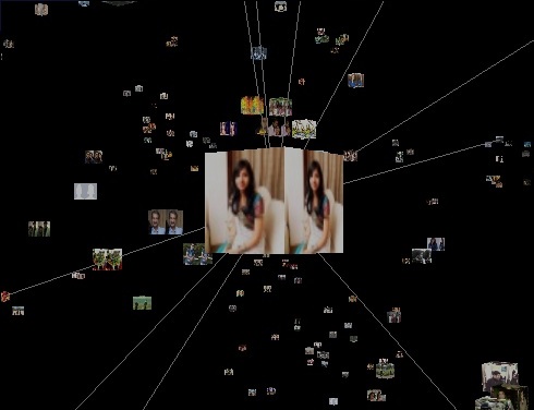
➡ Find My Apartment
"Find My Apartment" is an application that helps students find accommodation near their college campus. Various filters such as distance from various important places, rent/sublet, price and free form text are included. Also, information about transit and other key features are provided along with the listing of the apartments.
➡ Chemotaxis [ Fall 2011 ]
A team project, implemented as a part of the Scientific Computing course at Courant Institute of Mathematical Sciences. Used Matlab to implement a simulation of motion of particles in a resource field, where their motion is resultant of their need to move in higher resource area and consume resource as they move along. The motion of the particles was governed by keller-segel model of higher order differential equations.
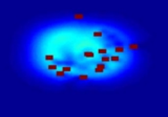
➡ Content Based Image Retrieval (CBIR) [ Spring 2011 ]
Individual project done as part of Machine Learning Course at NYU Polytechnic School of Engineering. The objective of using machine learning algorithms is to reduce uncertainty and give broader scope of classification. The classification technique used is the root of the problem. This paper is an alternative solution for the paper Grayscale Image Retrieval using DCT on Row mean, Column mean and Combination.
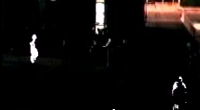
➡ Thermo Visual Video Fusion [ Spring 2010 ]
Implemented as a final year project in Undergrad at TSEC, Mumbai University. A Matlab based project to extract relevant information from an IR and CCTV video feed and perform fusion based on mathematical techniques for night time surveillance.